

Our founder, Bob Kinsley, had a lifelong passion for conservation. For more than 60 years, we’ve honored that legacy and continue to carry it forward now more than ever through our environmental services. In this line of work, no two projects ever play out the same. Some projects are implemented smoothly, with design plans and field conditions aligning from the start. Others begin with the same intention but quickly encounter challenges once construction begins and real-world conditions take over.
As environmental regulations tighten, projects become more complex and natural forces have greater effects on site conditions. Success in environmental construction comes down to how well teams can pivot from proposed design plans to still meet the project goals.
FLOWING THE RIGHT WAY
Beagle Club Stream Restoration & Sediment Reduction
Little Conewago Watershed | Thomasville, PA | Completed May 2025
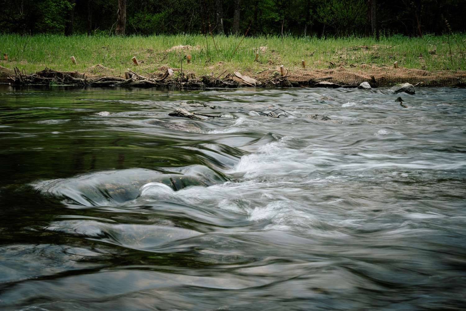
At the York-Adams Beagle Club in Paradise Township, our work focused on designing and restoring 3,900 linear feet of Paradise Creek and an additional 2,000 linear feet of an unnamed tributary within the Little Conewago Watershed. In collaboration with JMT, the goal was to reduce sediment and reconnect a degraded stream system to its natural floodplain.
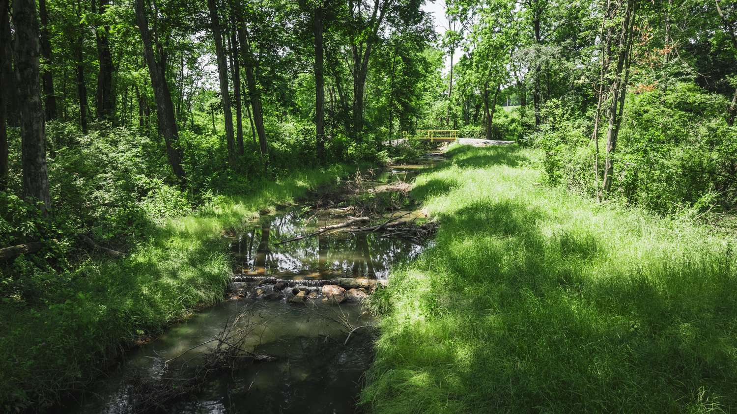
Over time, agricultural runoff and erosion had increased sediment deposition within the stream and transported sediment downstream. The project focused on creating bank stabilization, reducing high bank erosion, decreasing streamflow velocity and restoring natural sediment transport. As construction progressed, the streambanks and channel were altered to reconnect the stream to the surrounding floodplain during higher flow events. This reconnection is vital because it allows sediment to settle naturally, reduces erosive energy and supports long-term system stability.
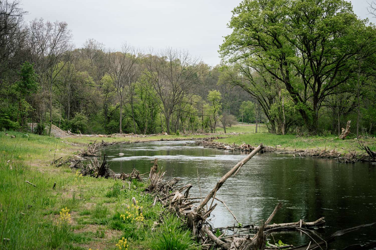
Field conditions of the unnamed tributary created a situation where the original survey, design and proposed restoration did not align. As a result, portions of the proposed restoration required in-field adjustments to better align with existing channel conditions. Floodplain cut was reduced and in-stream structure placements were adjusted to better handle the tributary’s steeper slope, limiting erosion from high-flow events. This adjustment was successfully implemented in real time, still meeting the design’s intent while responding to on-site constraints, ultimately resulting in a stable and well-integrated channel.
Within the channel, in-stream structures played a key role in the restoration approach. Log and boulder steps, rock sills, boulder cascades, rock and log toe protection, and woody debris jams were installed as part of a connected system rather than isolated features. Together, these elements help control grade, dissipate energy and create habitat complexity throughout the reach for aquatic life.
Scotts Level Branch Stream Restoration
Baltimore County, MD | Completed December 2025
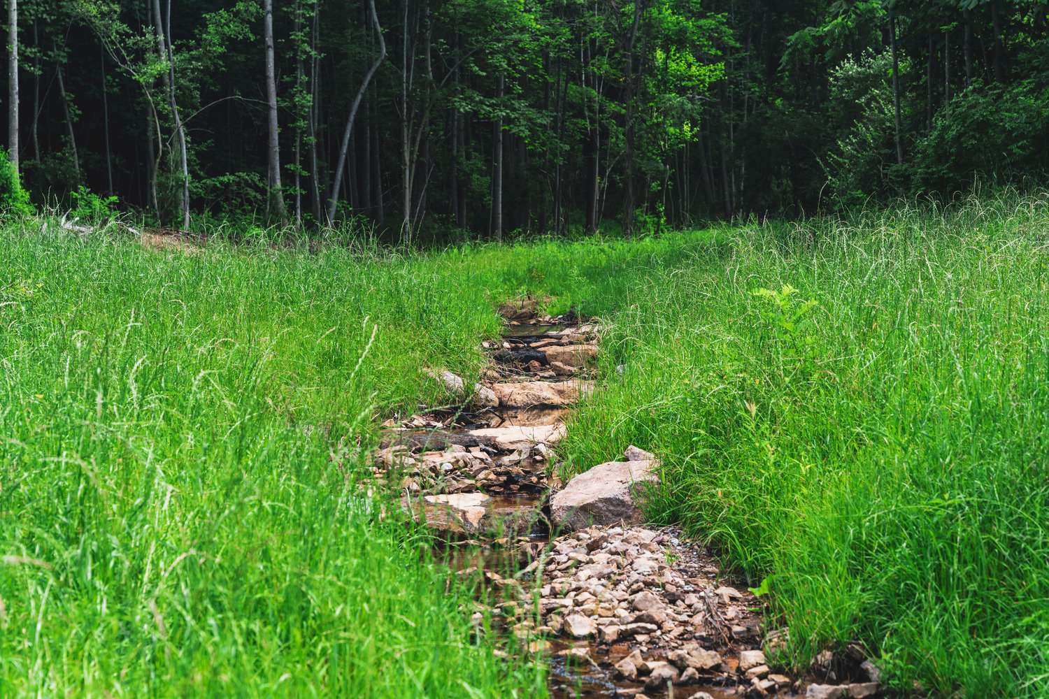
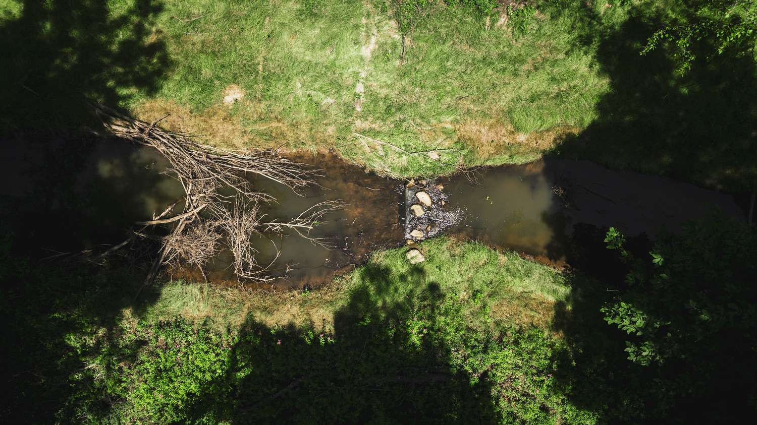
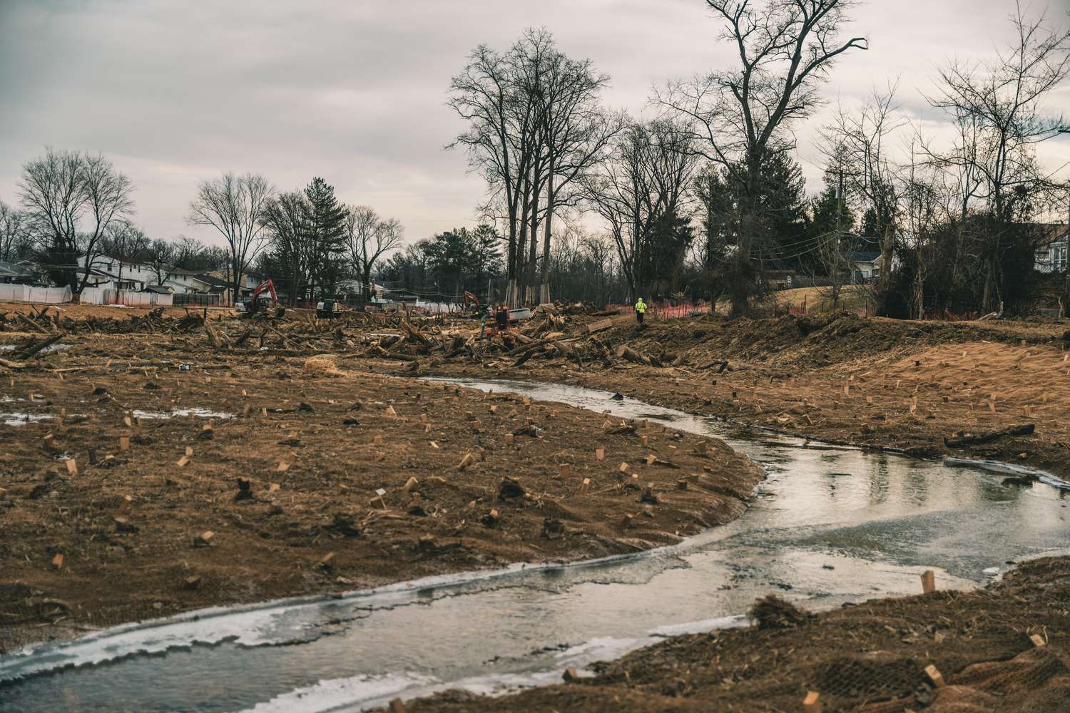
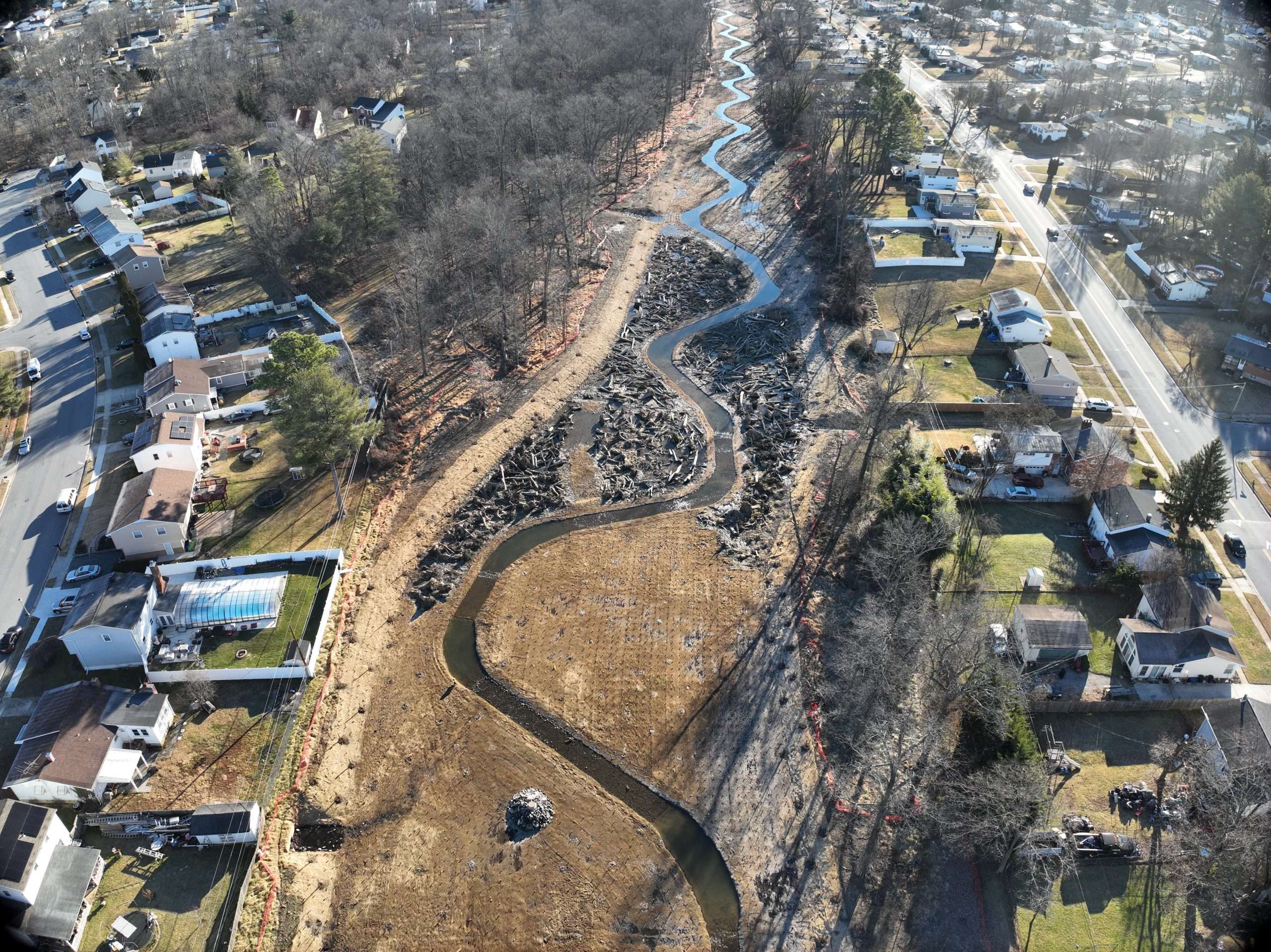
The Scotts Level Branch projects were a significant undertaking, consisting of 9,100 linear feet of stream restoration completed in two phases over two years. In collaboration with Baltimore County’s Department of Environmental Protection and Sustainability and RK&K, the project was designed as a full corridor restoration rather than isolated improvements.
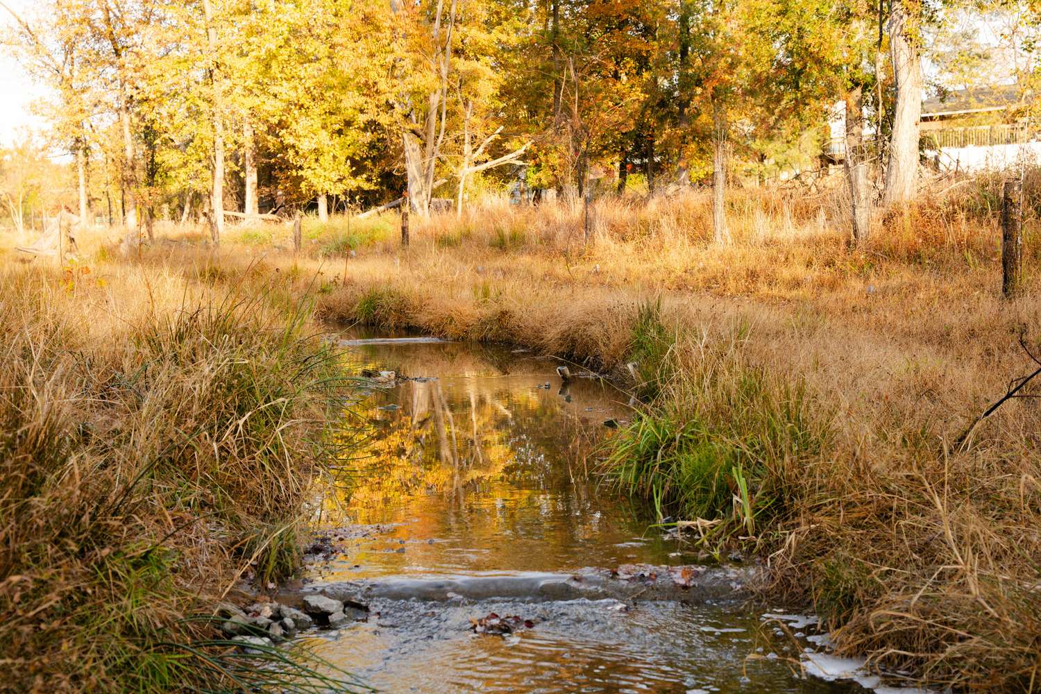
Material efficiency was also central to the approach. Cleared trees were repurposed into root wads, woody debris structures and habitat features that support stability and nutrient cycling. Vegetation also played a major role, with 4,100 native trees, 850 shrubs and 6,000 live stakes installed, including willow, dogwood, sycamore, oak and maple selected for riparian resilience.
UNEXPECTED BENDS
Quittapahilla Creek Restoration
Syner Road Section | Annville, PA | Completed November 2025
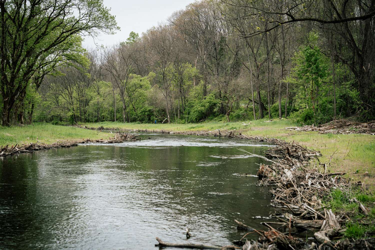
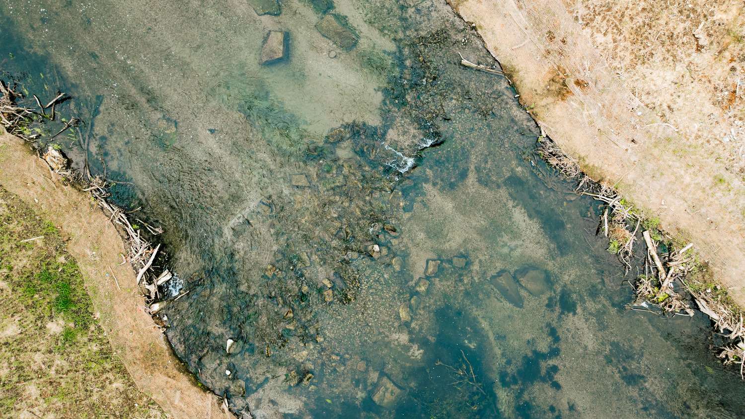
The Quittapahilla Creek restoration began as a conservation partnership with the Trout Unlimited Doc Fritchey Chapter, focused on trout habitat, sediment reduction and ecological improvement in a heavily used recreational trout stream. While the goals were clear, evolving field conditions quickly revealed that the original design would not be successful.
More than two feet of fine silt and organic material had accumulated on the stream bottom, making it difficult to place and stabilize the planned structures. This also prevented the channel from developing the depth and features needed for sustainable trout habitat and contributed to negative thermal impacts.
At the same time, construction efforts were constrained by unusually high water levels. The levels were about one foot higher than historical United States Geological Survey (USGS) expectations due to heavy regional rainfall, pushing construction activities to their limits. Prolonged high-flow conditions through spring and early summer 2025 delayed in-stream work until flows receded in late summer.
The key lesson was simple: success comes from identifying when design doesn’t match field conditions and adjusting in real time to keep the project on track.
Davis Farm Headwater Wetland Restoration
Chestertown, MD | Completed April 2026
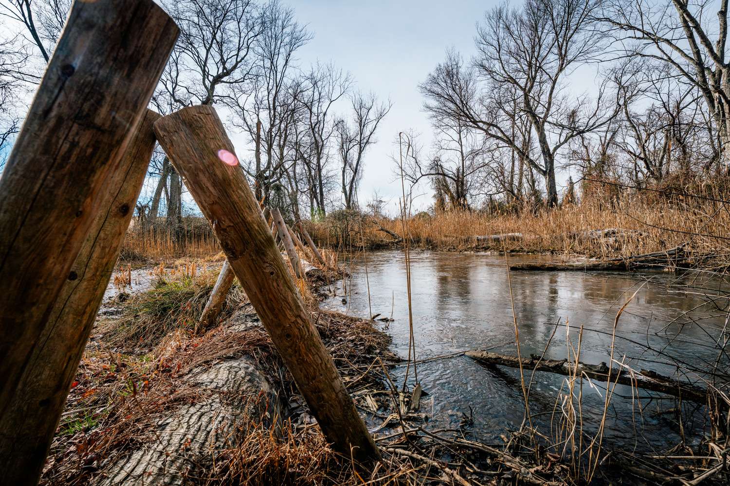
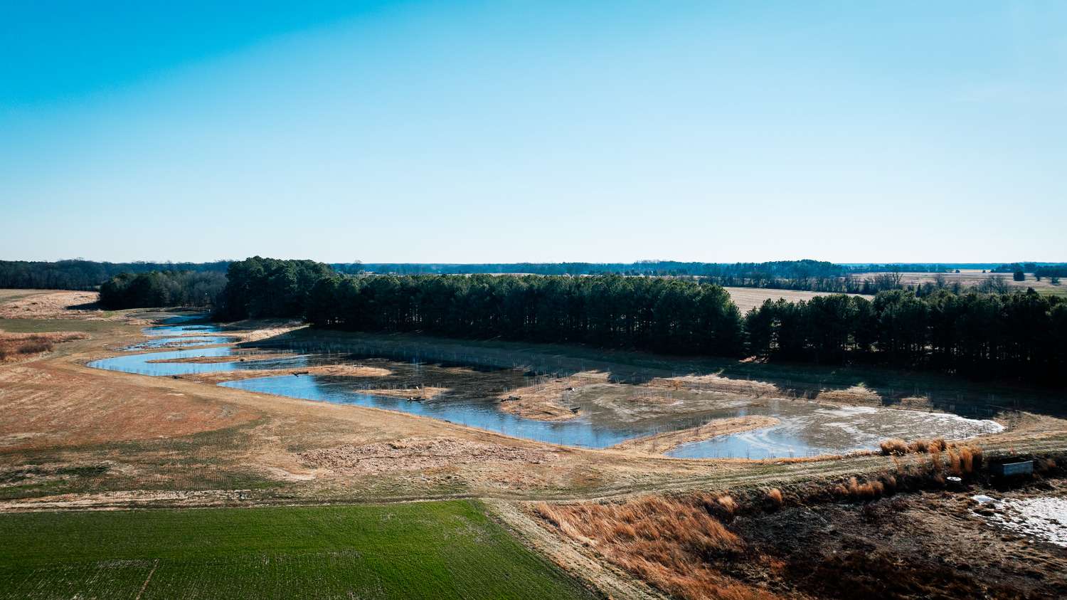
Despite these adjustments, a major challenge remained before restoration could fully take effect: invasive species dominance, primarily Phragmites australis. This species forms dense monocultures and spreads through an extensive root system, allowing even small root fragments to regenerate.
Management required a combination of excavation and an aquatic-safe herbicide application. The goal wasn’t immediate eradication, but suppression strong enough to allow native species to reestablish dominance. Additional pressure came from species like cattails, which spread through wildlife transport, particularly birds.
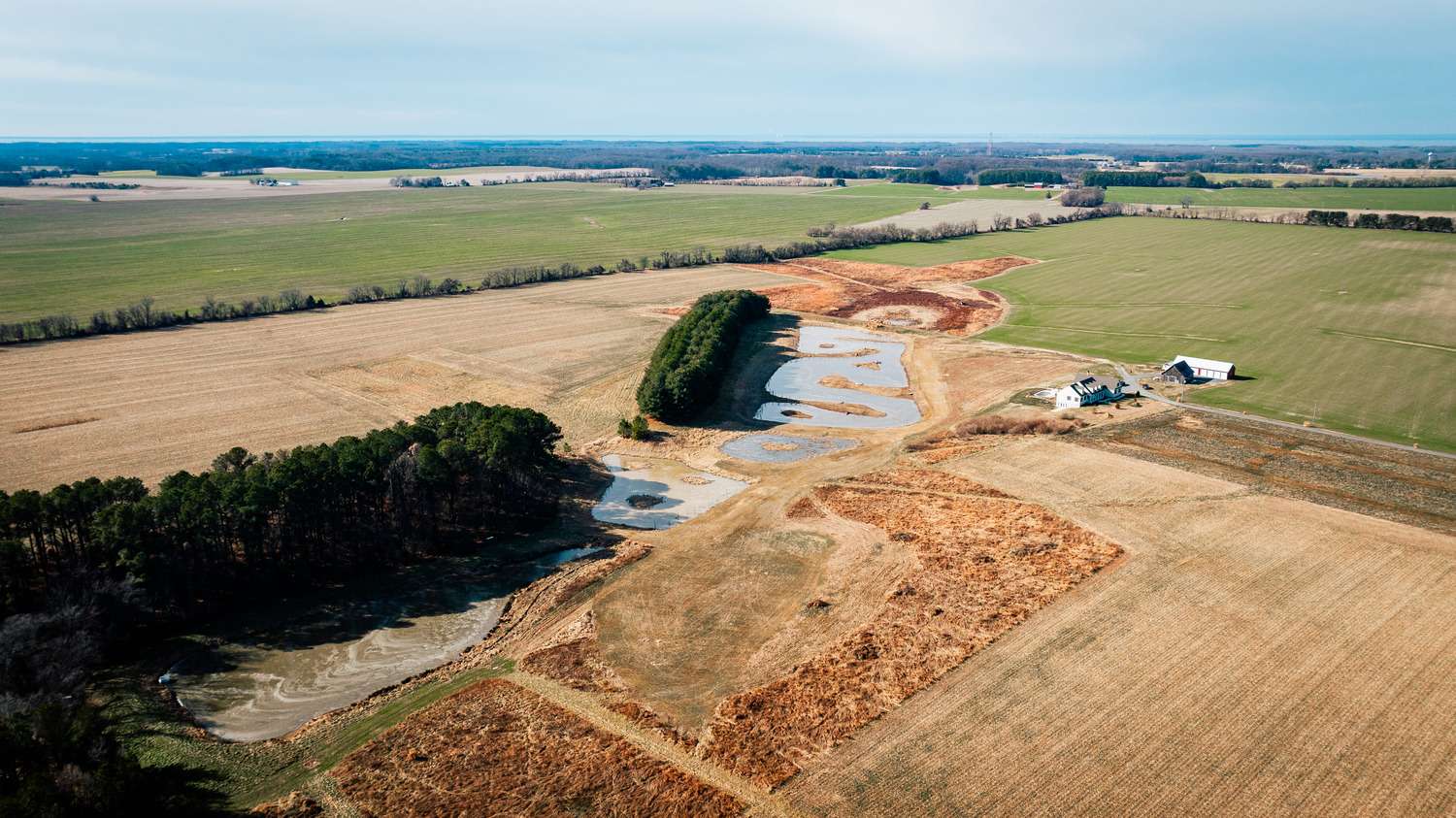
Once invasive pressure was reduced, the focus shifted to rebuilding native diversity. Native sedges and shrubs were introduced to create a system capable of filtering nutrients and trapping sediment before it reaches downstream waters. A key decision was delaying final herbaceous plug planting—about 16,000 plugs—until hydrologic conditions stabilized and the water table rose. This improved survivability and long-term establishment.
THE FIELD AWAYS HAS THE FINAL SAY
Across every project, one pattern holds true: the plan is only the starting point. Real work happens when field conditions change. Whether that means modifying a design, adjusting sequencing or rebuilding habitat complexity, success depends on responding to what the site requires while staying focused on the intended goals.
Want to see how this plays out across our environmental work? Learn more here: https://kinsleyconstruction.com/environmental-design-consulting/